
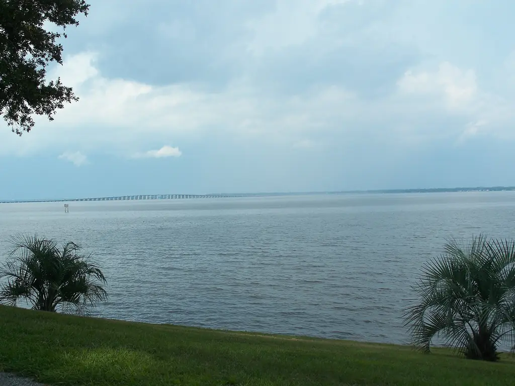
Three kinds of water in Clay County
Clay County projects sit on one of three distinct waters, and each changes the planning. The St. Johns River runs along the county's eastern edge and is very wide here, so riverfront properties in Orange Park, Fleming Island and Green Cove Springs, the county seat, face broad open water.
Doctors Lake is a large arm of the river that meets the St. Johns at Doctors Inlet, between Orange Park and Fleming Island; its coves are more sheltered than the open river, though parts of its shoreline are shallow. Black Creek winds from the Middleburg area east to the St. Johns. It is narrower and more enclosed, and its water level can rise sharply after heavy rain and tropical storms.
Across all three, tidal range is modest compared with the coast, and wind and rainfall play a larger part in water levels. Which agency and local reviews apply, whether through Clay County or a town or city, is determined by your licensed professionals and the agencies.
Long docks and shallow shorelines
Dock construction project preparation in Clay County often centers on shallow water close to shore.
Walkout length
Where nearshore water is shallow, docks may need to extend a long way to reach usable depth. Existing depth information, or a note that a survey is needed, keeps early budgets grounded.
Submerged grass beds
Shallow areas of the St. Johns commonly support submerged aquatic vegetation, which can influence dock layout and environmental review. Note what you see along your shoreline for your designer.
Changing water levels
Because wind and rain can move water levels more than tide does, photos taken in different conditions, including after storms, show the range a design has to accommodate.
Open-water exposure
Wind-driven waves build across wide water. Notes on past storm damage and typical conditions help engineers set appropriate design criteria.
HOA docks and riverfront amenities
Associations in Fleming Island, Orange Park and around Doctors Lake may own community docks, fishing piers, boat ramps or riverfront parks, and these structures tend to be long, shared and heavily used. HOA marina project planning starts with an inventory of what the association owns, the condition of each piece and how each appears in the reserve study.
Boards then need clear options for owners, such as repair, phased replacement or a reconfigured layout, each with contractor input on cost and duration. We prepare the briefing materials, notice language and decision records that move a board from discussion to an approved scope.
Commercial riverfront properties
Commercial waterfront in Clay County includes restaurants with customer docks, marinas and boat storage on Doctors Lake and Black Creek, and riverfront properties along the US 17 corridor. These sites usually need to stay open during work, so planning focuses on phasing, customer parking and how deliveries and crews will share access with daily business.
Access and logistics in Clay County
Marina access and logistics here are shaped by the river route, shallow approaches and residential settings.
- Barge-mounted equipment from the Jacksonville area travels up the St. Johns, so route, travel time and bridge clearances are part of the contractor's planning.
- Shallow water near shore can keep barges from getting close, which affects whether work proceeds from the water, from land or both.
- Land-based work often means crossing residential lots or common areas, so access permissions, ground protection and restoration should be settled up front.
- On Black Creek, a narrower channel, bridge crossings and fluctuating water levels can limit equipment size and timing.
- US 17 carries heavy traffic through Orange Park, Fleming Island and Green Cove Springs, which affects delivery timing.
- Summer thunderstorms, northeast wind events and hurricane season can raise water levels and halt open-water work.
Services for Clay County projects
HOA and marina project briefs help Clay County boards explain long, shared structures to owners and reach decisions. Access and logistics questionnaires capture water depth observations, landside routes and staging options, and procurement preparation turns that information into consistent material for bidders.