Marine Construction Planning Service Areas in Northeast Florida
Marine Construction Jacksonville serves commercial and association waterfront projects in Jacksonville and in communities within roughly 40 miles of the city, across Duval, St. Johns, Nassau and Clay counties. From downtown riverfront sites to Intracoastal marinas and creek-front community docks, we help owners prepare clear, organized project information before engineers, contractors and agencies take the next steps.
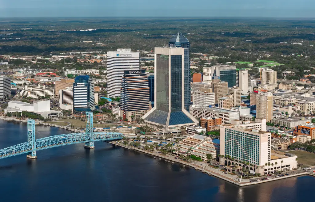
Waterfront communities around Jacksonville
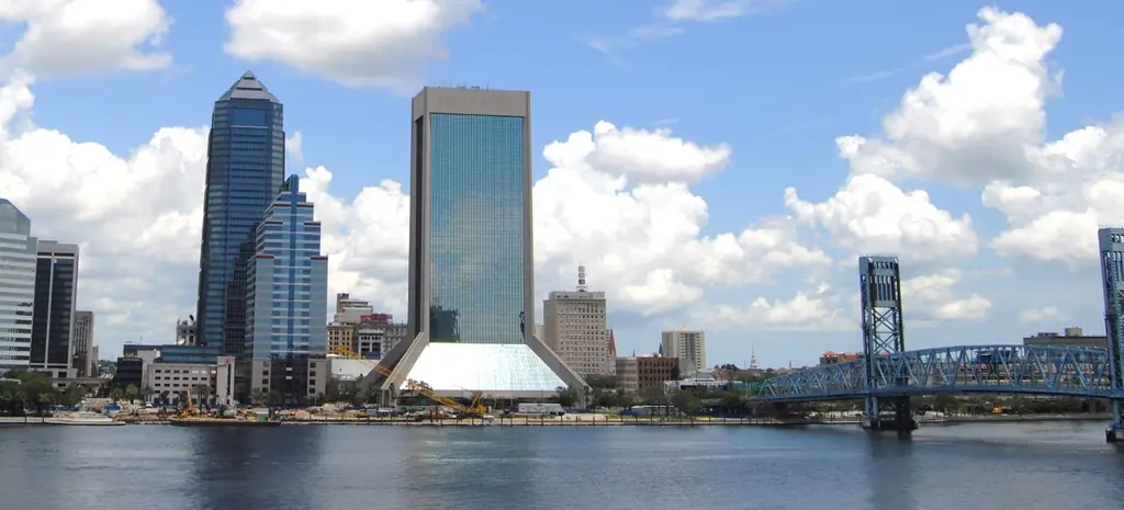
Jacksonville
Downtown riverfront sites, marinas and condominium docks on the St. Johns River, its tributaries and the Intracoastal Waterway.
View area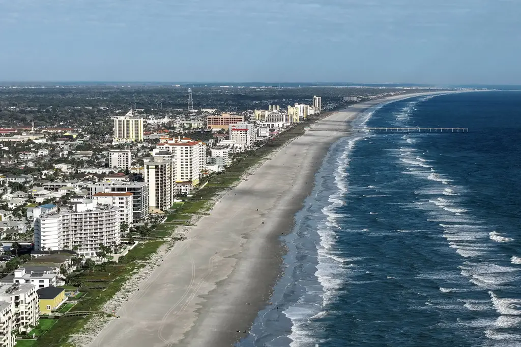
Jacksonville Beaches
Intracoastal-side marinas, HOA and condominium docks and commercial waterfront in Jacksonville Beach, Atlantic Beach and Neptune Beach.
View area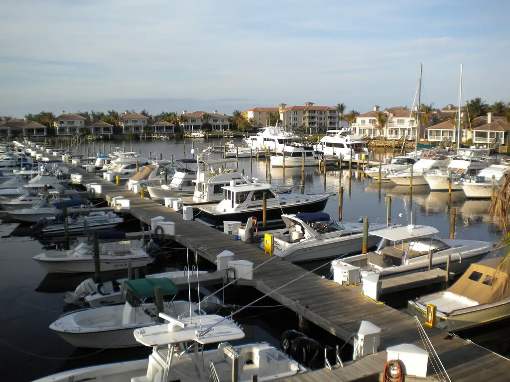
Ponte Vedra & Nocatee
Amenity docks and waterfront common areas in master-planned communities along the Intracoastal Waterway and Tolomato River corridor.
View area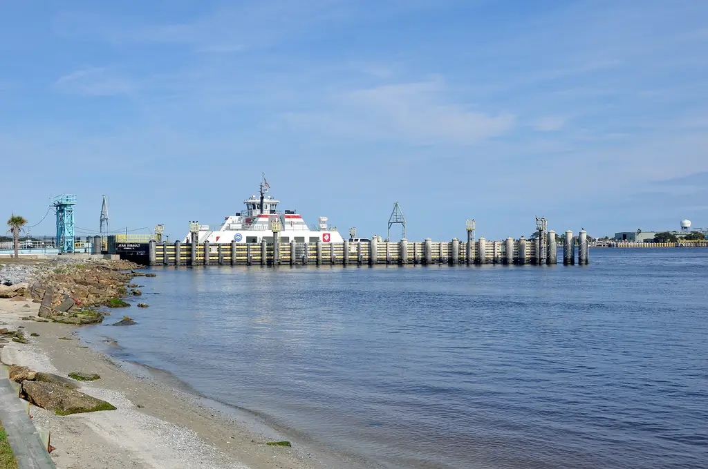
Mayport
Working-waterfront docks and seafood-related properties near the mouth of the St. Johns River, where currents and daily operations set the pace.
View area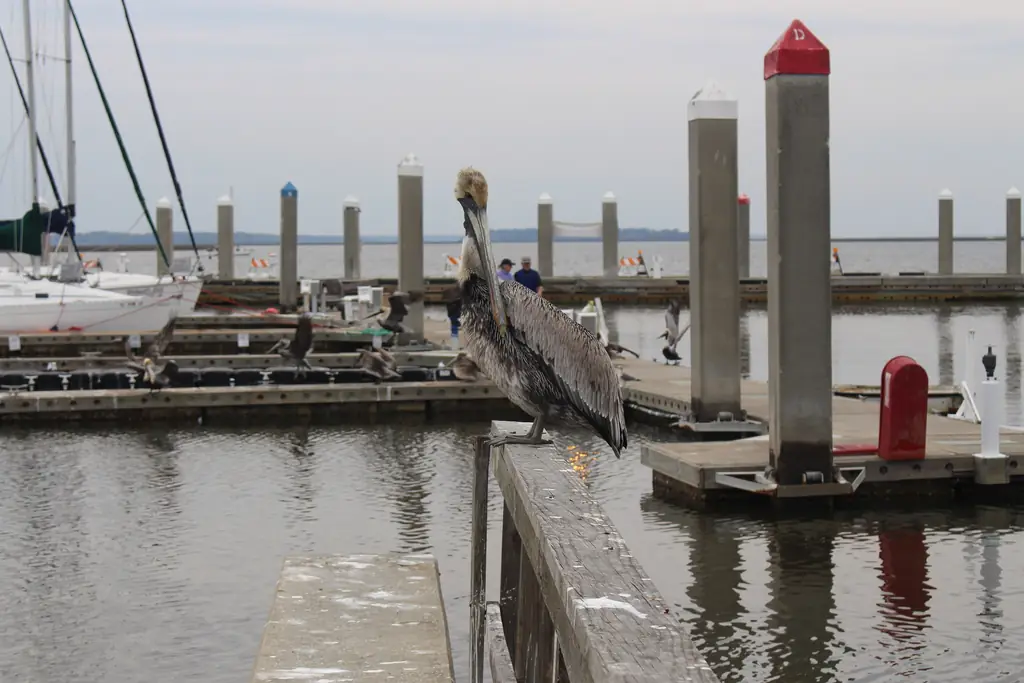
Fernandina Beach & Amelia Island
Amelia River waterfront in historic Fernandina Beach, associations on Amelia Island and growing residential communities in Yulee.
View area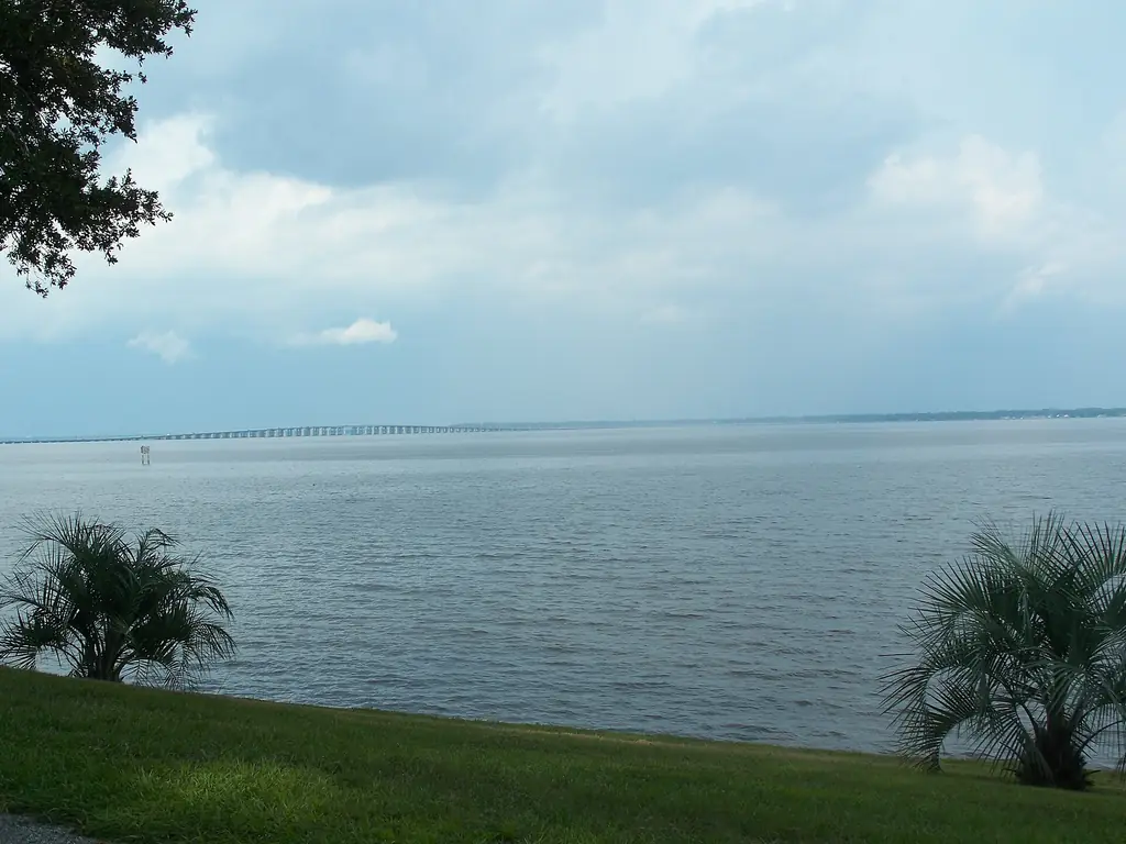
Clay County
Community docks, HOA amenities and riverfront commercial sites on the wide St. Johns River, Doctors Lake and Black Creek.
View area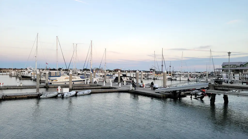
St. Augustine
Marinas and waterfront properties on the Matanzas and San Sebastian rivers, plus St. Augustine Beach on Anastasia Island.
View areaOutside these areas?
If your waterfront project is elsewhere in Northeast Florida, share the details and we will let you know whether we can help.
How Northeast Florida waterways differ
The kind of water your property faces shapes almost every planning decision, and Northeast Florida has four very different kinds. The St. Johns River flows north through the region, broad and slow-moving with a small tidal range south of Jacksonville and more strongly tidal through the city, before turning east to meet the Atlantic at Mayport. Upriver in Clay County, open water and wind drive many planning questions; downtown and toward the mouth, currents, bridges and commercial shipping take the lead.
The Intracoastal Waterway runs north to south behind the barrier islands. It follows the Amelia River past Fernandina Beach, crosses the St. Johns east of downtown Jacksonville, passes behind the Jacksonville Beaches and continues along the Tolomato and Matanzas rivers to St. Augustine. Steady boat traffic, wakes, marsh-lined shorelines and a mix of fixed and movable bridges define most projects along it.
Tidal creeks wind through the salt marsh of the coastal counties. Many are narrow and shallow at low tide, with oyster beds and marsh grasses close to existing structures, so docks tend to be long, equipment access is limited and tide windows govern when work can happen.
Atlantic inlets, including the mouth of the St. Johns River, Nassau Sound and the St. Augustine Inlet, bring strong currents, shifting shoals and direct exposure to ocean weather. Sites near them need extra attention to timing, equipment selection and storm planning.
Communities we serve
Our service area includes these 18 communities and the waterfront around them. Each name links to the page that covers it.
- Jacksonville, Duval County
- Jacksonville Beach, Duval County
- Atlantic Beach, Duval County
- Neptune Beach, Duval County
- Mayport, Duval County
- Ponte Vedra Beach, St. Johns County
- Ponte Vedra, St. Johns County
- Nocatee, St. Johns County (partly in Duval County)
- St. Augustine, St. Johns County
- St. Augustine Beach, St. Johns County
- Fernandina Beach, Nassau County
- Amelia Island, Nassau County
- Yulee, Nassau County
- Orange Park, Clay County
- Fleming Island, Clay County
- Middleburg, Clay County
- Green Cove Springs, Clay County
- Doctors Inlet, Clay County
How our support works across the region
The approach is the same wherever your property sits: we turn what you know about the site, its structures and the people involved into organized information your licensed professionals, contractors and agencies can use. What changes from place to place is the content, such as tide windows on a marsh creek, bridge openings in St. Augustine or slip-holder notices at a Beaches marina.
To prepare, review the project preparation checklist or explore our services, then start a project inquiry when you have details to share.
Plan your waterfront project
Share what you know about your waterfront project. We will help you organize the information, documentation and next steps needed to move it forward.